

Our
Locations
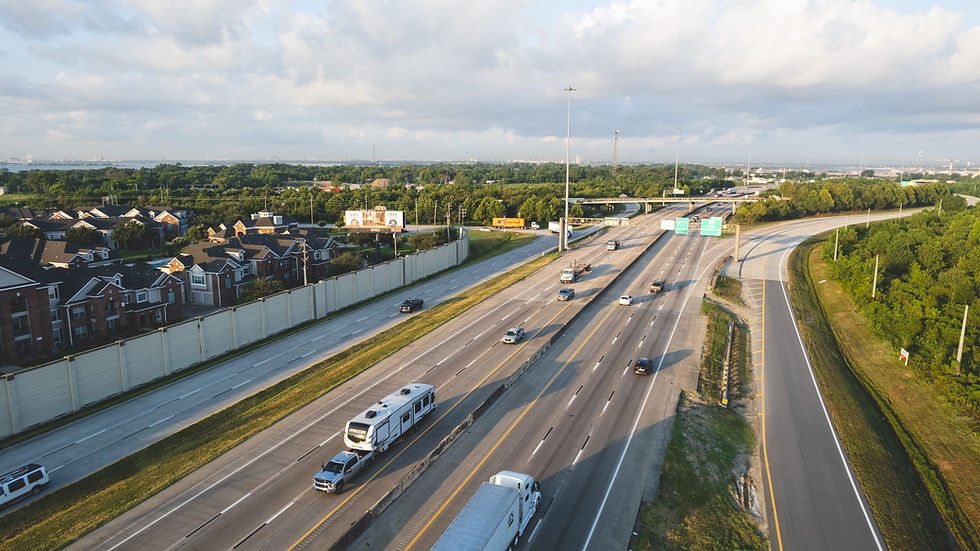
Russell Billboards offers prime coverage across key corridors in the Houston metro area. Our inventory includes high-visibility bulletins along Beltway 8 near Bush Intercontinental Airport and along I-10 serving the growing Baytown and east Houston markets. Each location is strategically positioned to reach high-volume traffic and deliver maximum daily impressions.


Beltway 8 RHR
-
Size: 28’ x 43’
-
Traffic Direction: Eastbound
-
Illuminated: Yes
-
Traffic Count: ~250,000 vehicles daily (Beltway 8 average)
-
Location: Harris County (GPS: 29.93851, -95.34916)
-
Description: Reaches eastbound drivers on Beltway 8 headed toward George Bush Intercontinental Airport, Greenspoint, and major connectors like I-69 and I-45—leading into downtown Houston and the Texas Medical Center. Ideal for targeting business travelers, logistics routes, medical commuters, and local traffic moving into the city’s urban and healthcare hubs.


Beltway 8 LHR
-
Size: 28’ x 43’
-
Traffic Direction: Westbound
-
Illuminated: Yes
-
Traffic Count: ~250,000 vehicles daily (Beltway 8 average)
-
Location: Harris County (GPS: 29.93851, -95.34916)
-
Description: This face captures westbound traffic on Beltway 8 headed toward Houston’s northwest suburbs, including Jersey Village and FM 1960. Ideal for reaching commuters coming from Bush Intercontinental Airport or the I-45 corridor and heading toward residential and retail districts west of Houston.


I-10 – RHR
-
Size: 14’ x 48’
-
Traffic Direction: Eastbound
-
Illuminated: Yes
-
Traffic Count: ~180,000 vehicles daily (I-10 East average)
-
Location: Harris County (GPS: 29.79123, -95.04727)
-
Description: Catches eastbound vehicles traveling toward Baytown, Cedar Bayou, and major petrochemical and industrial hubs. Excellent for advertisers targeting blue-collar workers, plant traffic, and I-10 corridor travelers.


I-10 – LHR
-
Size: 14’ x 48’
-
Traffic Direction: Westbound
-
Illuminated: Yes
-
Traffic Count: ~180,000 vehicles daily (I-10 East average)
-
Location: Harris County (GPS: 29.79123, -95.04727)
-
Description: Targets westbound traffic on I-10 East leaving Baytown and the Port of Houston, moving through East Houston and Channelview toward downtown and continuing on to the Energy Corridor. Offers high visibility for industrial, shipping, and residential commuter traffic heading into Houston’s major business districts.
Curious how we can help your brand thrive?
Get On A Billboard!